Digital files are not eligible for return and are final sale once they have been emailed to you.
Please allow us one business day to process your paid eBook order and email your PDF to you.
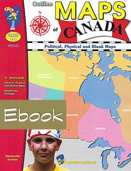
Outline Maps of Canada
eBook - PDF Digital File
Political, Physical and Blank Maps
"Outline Maps of Canada" is an important resource for use in support of existing social studies curriculum. Almost every map included can be used to teach or review the use of: directions on a compass rose, symbols on a legend and mapping terms such as border, boundary and hemisphere. The maps will help students: recognize the shape of Canada; locate Canada in North America and the world; recognize and locate Canada's provinces, territories, oceans, main bodies of water, capital cities and inhabited locations; begin to recognize and use parallels of latitude and meridians of longitude; discover landforms, rivers and lakes in each province or territory; provide starting points for inquiry/research on specific provinces and territories; use a grid on a map of Canada and discover the locations of regions in Canada.
Please allow us one business day to process your paid eBook order and email your PDF to you.
Outline Maps of Canada
eBook - PDF Digital File
Political, Physical and Blank Maps
"Outline Maps of Canada" is an important resource for use in support of existing social studies curriculum. Almost every map included can be used to teach or review the use of: directions on a compass rose, symbols on a legend and mapping terms such as border, boundary and hemisphere. The maps will help students: recognize the shape of Canada; locate Canada in North America and the world; recognize and locate Canada's provinces, territories, oceans, main bodies of water, capital cities and inhabited locations; begin to recognize and use parallels of latitude and meridians of longitude; discover landforms, rivers and lakes in each province or territory; provide starting points for inquiry/research on specific provinces and territories; use a grid on a map of Canada and discover the locations of regions in Canada.
- ConsumableYes
- CopyrightLimited reproduction permission
- FormatDownload
- Grade LevelGrade 4 to 6
- LocationCanada
- Number of Pages64 Pages
Description
Digital files are not eligible for return and are final sale once they have been emailed to you.
Please allow us one business day to process your paid eBook order and email your PDF to you.
Outline Maps of Canada
eBook - PDF Digital File
Political, Physical and Blank Maps
"Outline Maps of Canada" is an important resource for use in support of existing social studies curriculum. Almost every map included can be used to teach or review the use of: directions on a compass rose, symbols on a legend and mapping terms such as border, boundary and hemisphere. The maps will help students: recognize the shape of Canada; locate Canada in North America and the world; recognize and locate Canada's provinces, territories, oceans, main bodies of water, capital cities and inhabited locations; begin to recognize and use parallels of latitude and meridians of longitude; discover landforms, rivers and lakes in each province or territory; provide starting points for inquiry/research on specific provinces and territories; use a grid on a map of Canada and discover the locations of regions in Canada.
Product Specs
- ConsumableYes
- CopyrightLimited reproduction permission
- FormatDownload
- Grade LevelGrade 4 to 6
- LocationCanada
- Number of Pages64 Pages
Customers Also Purchased

Subscribe to our newsletter now for the latest news and special offers