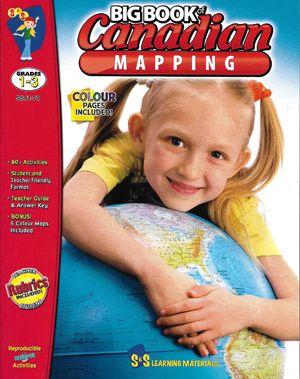
Learn more about Canada through the study of its geography. There are a multitude of activities and worksheets to expand student knowledge and strengthen their mapping skills of Canada. They will be introduced to mapping terms such as; country, border, ocean, province, territory, continent, hemisphere, latitude, longitude, symbols, legend, scale, and cardinal and intermediate directions.
This print book is in black and white. Check on our website for the ebook which is available in colour.
Don't see the ebook? Contact us and we will do our best to make it available for you.
This print book is in black and white. Check on our website for the ebook which is available in colour.
Don't see the ebook? Contact us and we will do our best to make it available for you.
- FormatActivity Book
- Grade LevelGrade 1 to 3
- Number of Pages149 Pages
Description
Learn more about Canada through the study of its geography. There are a multitude of activities and worksheets to expand student knowledge and strengthen their mapping skills of Canada. They will be introduced to mapping terms such as; country, border, ocean, province, territory, continent, hemisphere, latitude, longitude, symbols, legend, scale, and cardinal and intermediate directions.
This print book is in black and white. Check on our website for the ebook which is available in colour.
Don't see the ebook? Contact us and we will do our best to make it available for you.
This print book is in black and white. Check on our website for the ebook which is available in colour.
Don't see the ebook? Contact us and we will do our best to make it available for you.
Product Specs
- FormatActivity Book
- Grade LevelGrade 1 to 3
- Number of Pages149 Pages
